Are you looking for the very best hikes in North Carolina? You have come to the right place! Get ready to explore the Blue Ridge, the right way, from the inside. Stroll past some of the best waterfalls in North Carolina and the most iconic viewpoints.
Take your pick of hiking trails in NC from the iconic Blue Ridge Parkway the beautiful wilderness of the untouched Pisgah National Forest. Grab your favorite boots, pack your backpack, and get ready to enjoy stunning summits. After your long trek treat yourself to a nice cold beer at one of the best breweries in North Carolina!
Be sure to check out the best resorts in North Carolina, if you are coming for a long weekend or a few weeks. You will find that there is so much beauty in NC you may not want to leave!
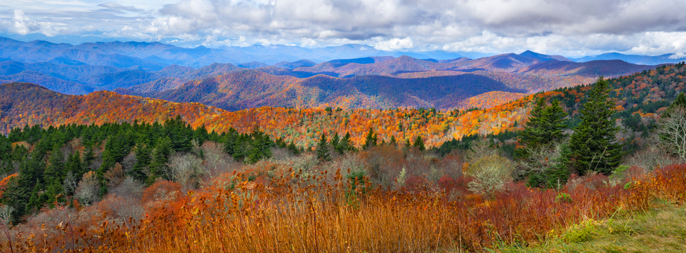
Best Hikes in North Carolina
Rough Ridge
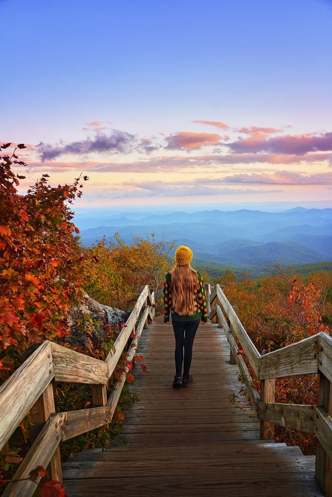
Rough Ridge is one of the best hikes in Boone North Carolina. It is located along the Blue Ridge Parkway and can be found around milepost 202.8 It is an out-and-back trail with a beautiful viewpoint at the top with views of Grandfather Mountain.
- Distance: Rough Ridge is about 1.2 miles long each way for a total distance of 2.4 miles.
- Elevation: Approximately 400 feet.
- Difficulty: The Rough Ridge Hike is considered to be moderately difficult. There are steep sections along the rocky terrain.
Plan to spend about 2 hours to complete the hike plus, time to spend at the top. You will want to relax and take in the views of your short hike. Bring a lunch or light snacks and be sure to be a camera.

Linville Falls
f you are looking for waterfall hikes in North Carolina you have to check out Linville Falls. This hike is also along the Blue Ridge Parkway along milepost 316.4 in Linville Falls, North Carolina.
There are several different hikes to pick from, but the most popular is the out-and-back trails. They are the Erwins View Trail and the Plunge Basin Trail. The Plunge Basin Trail takes you along the floors of the fall and is one of the very best hiking in North Carolina
- Distance: The Plunge Basin Trail is 1.6 miles, up and back.
- Elevation: The main trail has an elevation change of 340 feet.
- Difficulty: Linville Falls has moderate difficulty. All of the trails are maintained well and not too strenuous. Be prepared for just a few steeper sections.

Catawba Falls Trail
Up next is Catawabe Falls Trail. It is located inside the Pisgah National Forest near the city of Old Fort, North Carolina. It is always considered one of the best North Carolina hikes. The best part of the hike is when you reach Catawba Falls. The main fall cascades down the rocks over 100 feet in the air.
There are also smaller falls to enjoy and natural pools under the falls for swimming. If you want to spend your day hiking to waterfalls in North Carolina, it’s always a treat to explore the Catawba Falls Trail. Plan to spend 2-3 hours hiking, and the rest enjoying the sights and sounds of the waterfalls.
- Distance: Catawba Falls Hike is an out and back trail, with a distance of 2.7 miles.
- Elevation: The elevation change is around 390 feet.
- Difficulty: Catawba Falls is considered a moderate hike. It is well-marked, and you will have to walk through a few small creeks, so bring extra socks!
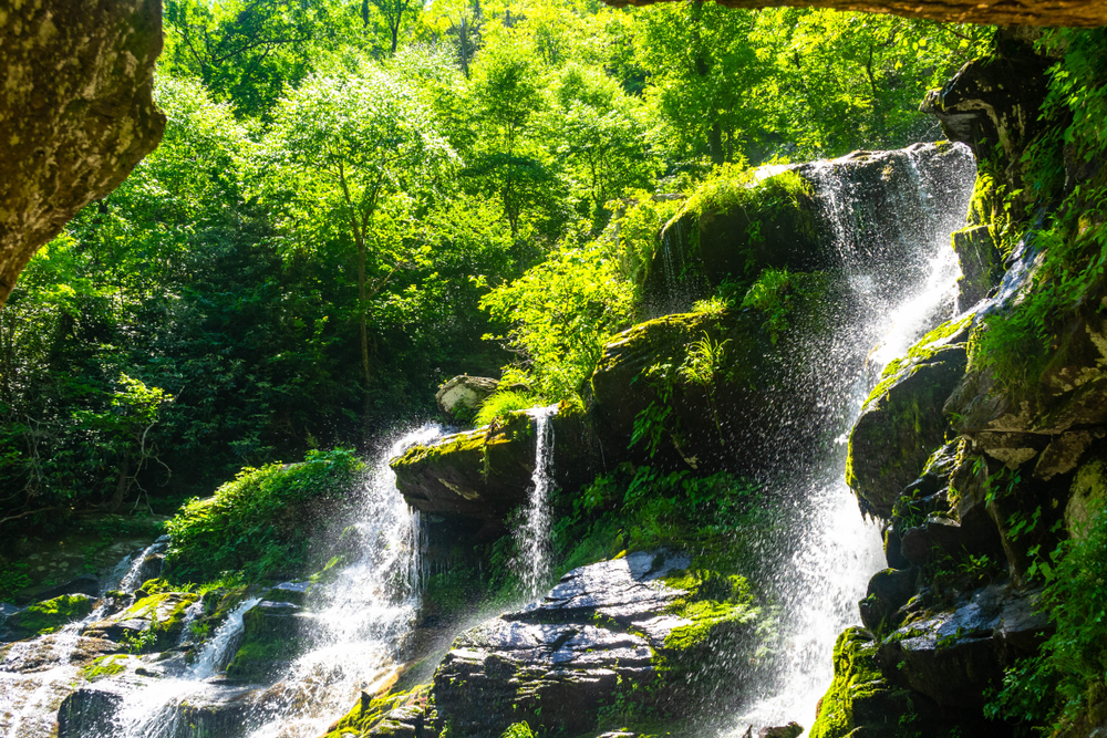
Stone Mountain Loop Trail
Stone Mountain Loop Trail is located near Roaring Gap and Elkin, North Carolina inside the Stone Mountain State Park. This loop trail will take you along the stunning Stone Mountain with beautiful views and interesting rock formations.
Once you reach the summit of Stone Mountain you will love the panoramic views of the state park. The trail also leads you past Stone Mountain Falls, a beautiful waterfall. It’s worth stopping here for a few minutes before continuing your trek to the top. This is one of the hardest places for hiking in the North Carolina mountains.
- Distance: The distance for this loop trail is around 4.5 miles. and plan to spend 2 to 3 hours on your feet.
- Elevation: The change of elevation for Stone Mountain Trail is 700 feet.
- Difficulty: Stone Mountain is one of the best hikes in North Carolina with strenuous difficulty. There is a steep set of stairs that take you to the summit.
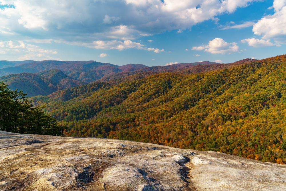
Crabtree Falls
There are so many pretty waterfalls in North Carolina, and this next one is one of the most popular. To get to Crabtree Falls you will need to head to the super cute town of Little Switzerland, North Carolina. This is an out-and-back trail with a 70-foot waterfall as your reward.
The trail also takes you along wooden steps and bridges with pretty views along the way. Out and back it should take about 2 hours to walk the trail, but plan to spend time swimming and taking in the Falls.
- Distance: The round trip of Crabtree Falls is 2.5 miles.
- Elevation: Crabtree Falls has an approximate change in elevation of 600 feet.
- Difficulty: The Crabtree Falls has moderate difficulty. Use extra caution when it’s wet.
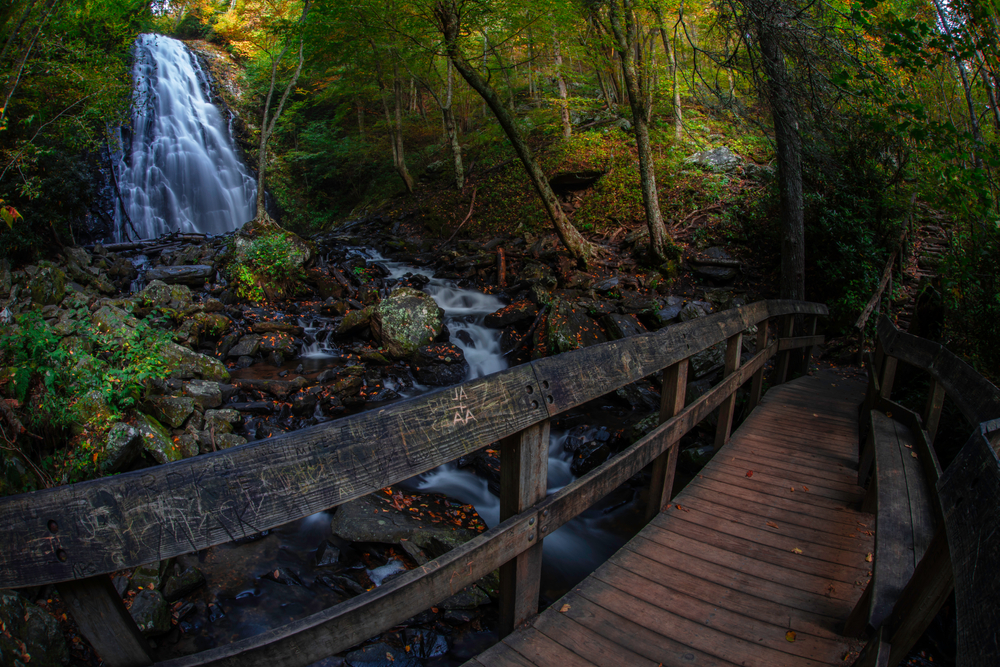
Craggy Pinnacle Trail
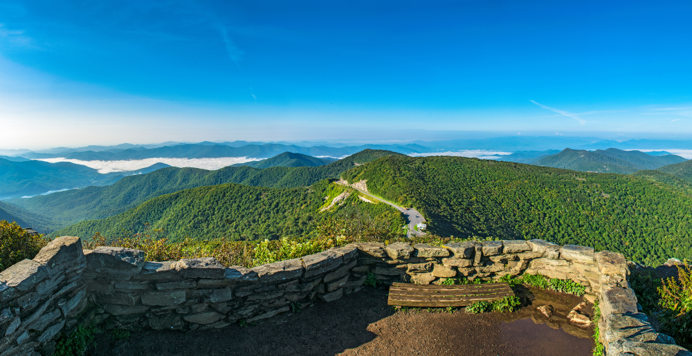
Are looking for mountain hiking in North Carolina near Asheville? Well, Craggy Pinnacle Trail is right up your alley as it is a short 30-minute drive away. The beautiful summit here is without a doubt one of the best in the state. You will have amazing views of the mountainside almost the entire way down the trail. Be sure to bring your camera, it is a site you will want to remember.
- Distance: This is a short trail coming in at 0.7 miles.
- Elevation: There is a small change of only 235 feet.
- Difficulty: Very easy and well-maintained.
Mount Mitchell
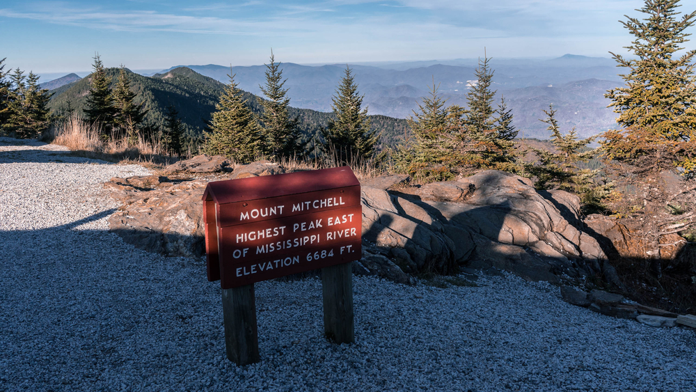
Mount Mitchell is one of the best hiking trails in North Carolina. It is located in Mount Mitchell State Park near Asheville, NC. The highest peak makes Mount Mitchell the highest mountain east of the Mississippi.
This out-and-back trail has impressive views as you stand almost 7000 feet above ground level. When the skies are clear you can see the skyline of downtown Asheville from the top of Mount Mitchell. You are going to love the beautiful mountains and valleys on one of the best hikes near Asheville. You will also love this list of the best waterfalls in Asheville NC.
- Distance: The round trip distance to complete Mount Mitchell is about 5.5 miles.
- Elevation: As the highest mountain in NC the elevation change is steep at 3,680 feet.
- Difficulty: This is one of the hardest hikes in North Carolina as it is considered strenuous. It is well-maintained and the incredible views make it an amazing experience.
Grandfather Mountains
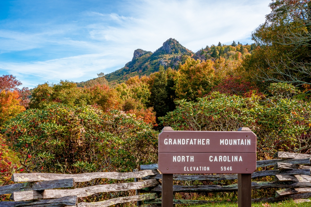
Another one of the places to hike in North Carolina is Blue Ridge, which is where you will the hikes at Grandfather Mountain. Just like the Linville Falls, you can find this hike in Linville, North Carolina. There are several hikes here to pick from. Some of the most popular are Profile Trail, Grandfather Trail, and the Daniel Boone Scout Trails.
They all offer their own specialties, but the high peak is Calloway Peak and has stunning views. It doesn’t matter which trail you choose, you will have an amazing day hiking out in the Grandfather Mountains.
- Distances: Profile trail is 7 miles. Grandfather Trail is 2.5m. The Daniel Boone trail is the hardest at 13.5 miles. The first two take at least 4 hours to complete, and the Boone trail is an all-day adventure at 8 to 10 hours.
- Elevation: The total elevation is almost 6,000 feet.
- Difficulty: All three trails are considered hard, with the Daniel Boone Scout Trail being the most demanding and only recommended for experienced hikers.
Max Patch
If you are looking for family-friendly NC hiking trails Max Patch is the perfect place to start. Max Patch can be found inside the Pisgah National Forest and is a part of the Appalachian Trail. The closest town is Hot Springs, North Carolina. It is an out-and-back trail that leads you to a beautiful grassy summit with 360 panoramic views.
Expect the hike to take about an hour, but plan to spend plenty of time taking in the views. The summit makes for a comfy spot for a mid-day picnic or cold drink at sunset.
- Distance: Max Patch is a short hike with a round trip distance of 2.5 miles.
- Elevation: There is hardly any elevation, except a change of 330 feet.
- Difficulty: This is a very easy hike. It is suitable for all types of hikers including low mobility and children.

Sam Knob Loop
One of North Carolina’s best hikes is the beautiful Sam Knob Loop. This hike is located in the town of Balsam Grove, NC. You can find Sam Knob in the Pisgah Ranger area. You will walk past fishing spots, swimming holes, and waterfalls.
There are two summits to master. One faces east and the other west, so you can catch sunset or sunrise at this beautiful spot. Bring your fishing pole and many people catch brook trout along the way!
- Distance: To complete the loop trail you will need to trek about 4 miles round trip.
- Elevation: You won’t experience much elevation here it only rises 800 feet.
- Difficulty: Moderately hard, but still only takes about 2 hours to complete.
Looking Glass Rock
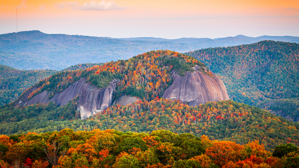
Looking Glass Rock hike gets its name from the beautiful rock formations along the way. And if you are looking for where to hike in NC this hike is inside and others are all inside the Pisgah National Forest. The summit is especially pretty during the fall time in NC when the beautiful leaves turn a mix of yellow and oranges.
- Distance: This is one of the longer hikes in North Carolina at around 6.2 miles.
- Elevation: The elevation change for Looking Glass Rock is around 1,700 feet.
- Difficulty: Moderate to Strenuous with a large elevation gain. Take extra care at the steeper sections.
Art Loeb Trail
The Art Loeb Trail is another one of the best hikes in North Carolina in the Pisgah National Forest. This entire trail is 30 miles long and starts in the town of Brevard and ends near the Blue Ridge Parkway.
You will pass through a wide range of sites. including dense forests, beautiful viewpoints, and the iconic Black Balsam Knob and Tennet Mountain. It takes even the most experienced hikers 2-4 days to hike the entirety of Art Loeb Trail. You can always hike sections at a time if you want a shorter hike.
- Distance: The Art Loeb trail covers over 30 miles.
- Elevation: The highest point of the trail reaches 6000 feet in elevation.
- Difficulty: Its length and elevation changes make the Art Loeb Trail very challenging. To complete the whole hike you will want to be in good physical condition and do your research on backcountry NC hiking trails.
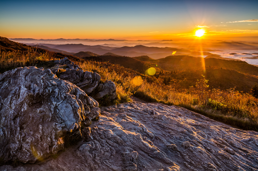
Shining Rock Wilderness
One of the most popular hiking trails in western North Carolina is the Shining Rock Wilderness trail in the Pisgah National Forest. This is an out-and-back trail that takes about 4 hours to complete, without time to take in the views. The trail starts at the Old Butt Knob trailhead, near Shining Rock Gap.
There is significant elevation gain to concur before reaching the stunning viewpoint, but you will forget all about it when you see the views of the Blue Ridge Mountains in the distance. Shining Rock Wilderness is one of the best NC walking trails in the western part of the state.
- Distance: The entire loop hike is 8.4 miles.
- Elevation: There is a 1,700-foot elevation change to reach the top of the Looking Glass Rock.
- Difficulty: Considered strenuous due to the high elevation gain.
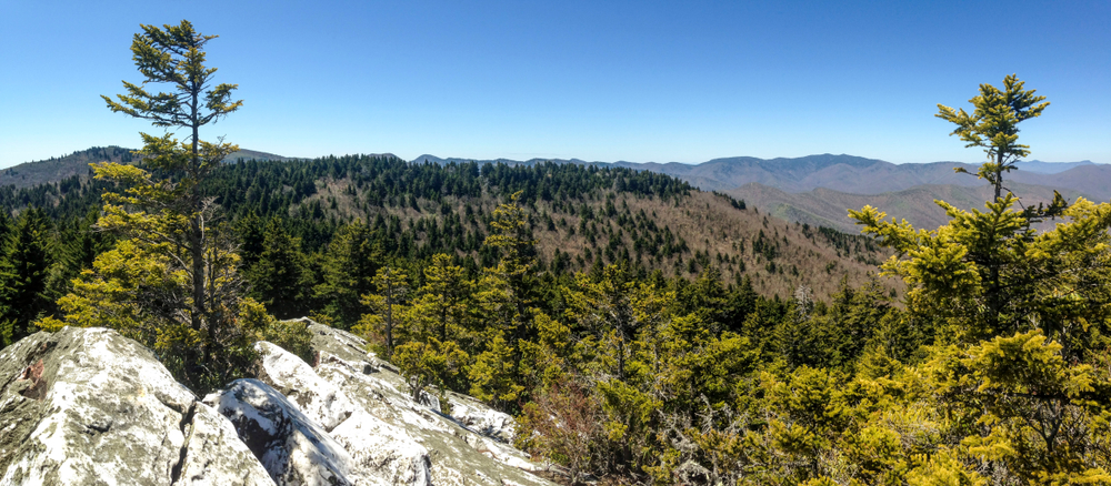
Joyce Kilmer Memorial Forest
Near the town of Robbinsville, NC you will find the Joyce Kilmer Memorial Forest. This mature forest is filled with some of the largest and oldest trees in NC. Some of these beautiful trees date back over 400 years and are over 100 feet high.
This untouched piece of history is one of the places to hike in North Carolina. The entire hike will only take about an hour and is suitable for all ages and fitness levels.
- Distance: The loop trail of the Joyce Kilmer is about 2 miles long.
- Elevation: There is practically no elevation throughout this old forest.
- Difficulty: Very easy.
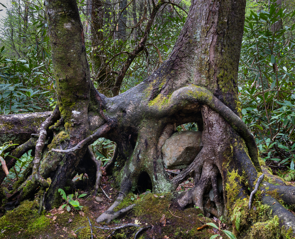
Dupont State Recreational Forest
Another one of the best hiking trails in eastern North Carolina is in the Dupont State Recreational Forest. The closest town to Dupont is Brevard, NC. Some of the most popular hikes are the Triple Falls, Hooker Falls, High Falls, and Bridal Veil Falls. Do you see the similarities? Almost all of the hikes inside Dupont have beautiful cascading waterfalls!
No matter what trail you go with, they are all pretty easy and shouldn’t take more than an hour or two. This beautiful forest has been featured in the popular movie series The Hunger Games, Don’t Let Me Go, and the Last Mohicans. It is a very popular hiking trail in North Carolina, so try to get there early to beat the crowds.
- Distance: The Bridal Veil Falls is the longest at 4.4 miles, High Falls is around 2.3 miles, The Triple Falls is 1.2 miles and the Hooker Falls Trail is only half a mile.
- Elevation: There is not much elevation change on any of the hikes in Dupont, the terrain is very gentle.
- Difficulty: All of the trails are well-maintained and are a great option for all skill levels.

 15 Pros And Cons To Living In North Carolina